agriculture weather

Please note that if you click on the maps below it will enlarge.

NOAA Weather Forecast – March 2025 – May 2025

La Niña conditions are favored to transition to ENSO-neutral this spring (March through May 2025), with a 66% likelihood. As this transition unfolds, other atmospheric drivers will continue to influence short-term weather patterns. One key factor is the potential movement of a coherent Madden-Julian Oscillation (MJO) into the Indian Ocean. If this occurs, it could result in a retrograding longwave trough over North America, signaling a shift toward warmer temperatures across the eastern U.S. in late February and early March.

The Arctic Oscillation (AO) is forecast to become positive in the final week of February, which typically brings above-normal temperatures across the eastern half of the continental U.S. due to suppressed cold air intrusions from Canada. However, model guidance suggests the AO may sharply drop to near neutral by early March, which would support a more transient and variable pattern as the month begins.

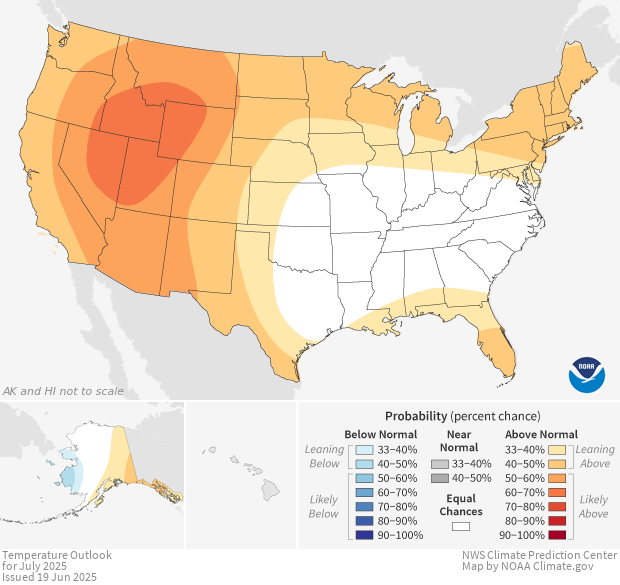
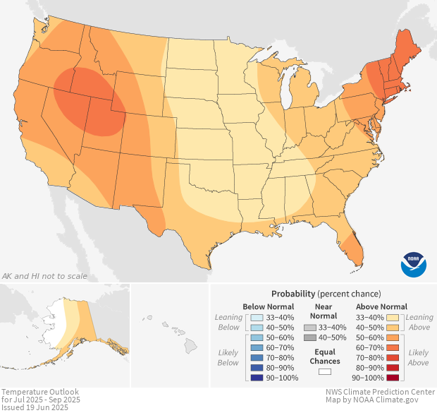
In terms of temperature outlooks, above-normal temperatures are currently favored across southwest Kansas and much of Colorado. Elsewhere in the Central Region, there are equal chances for above-, near-, or below-normal temperatures due to mixed model signals—some suggesting continued warmth while others lean toward more neutral or even cooler conditions, particularly across the Northern Plains. This region remains an area to watch closely as forecast confidence remains lower.

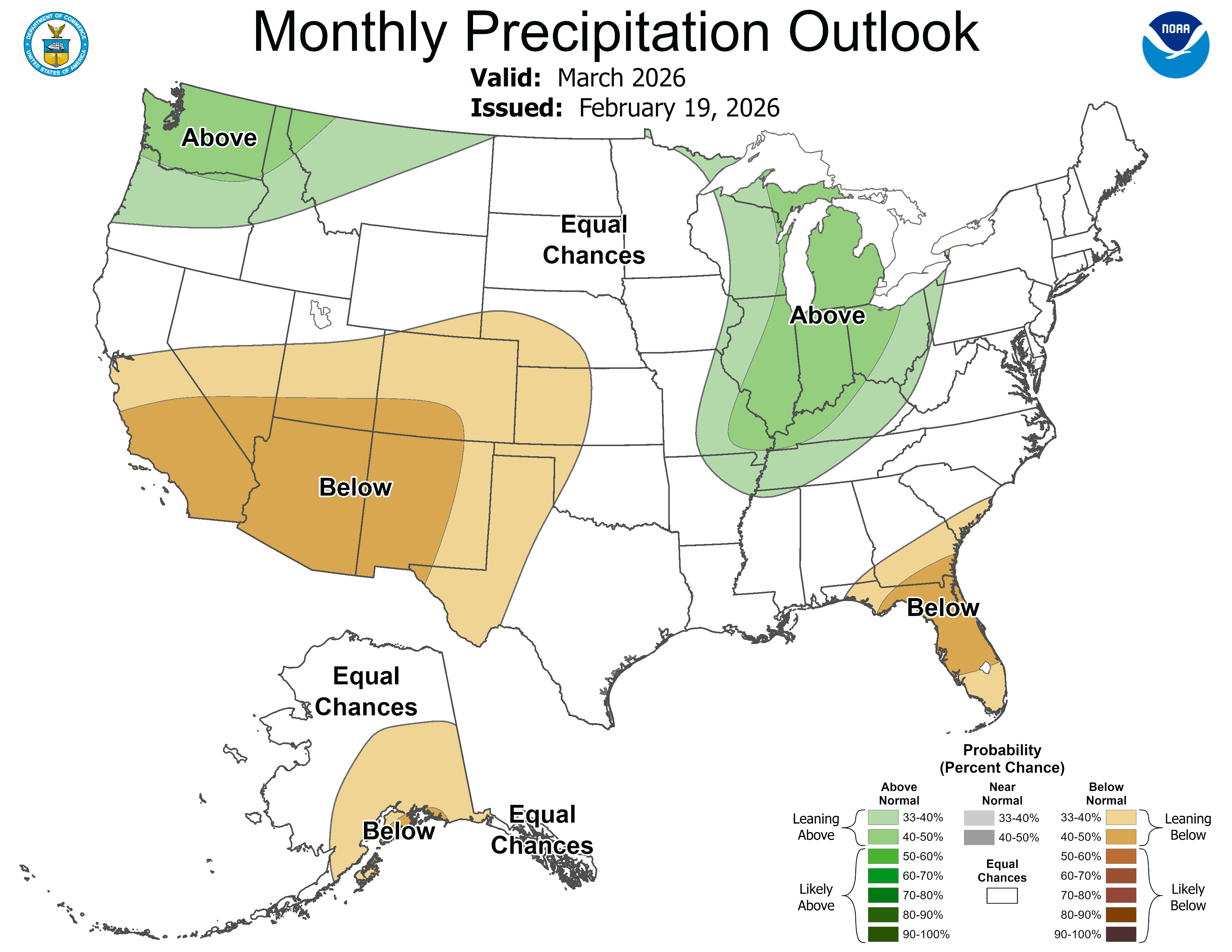
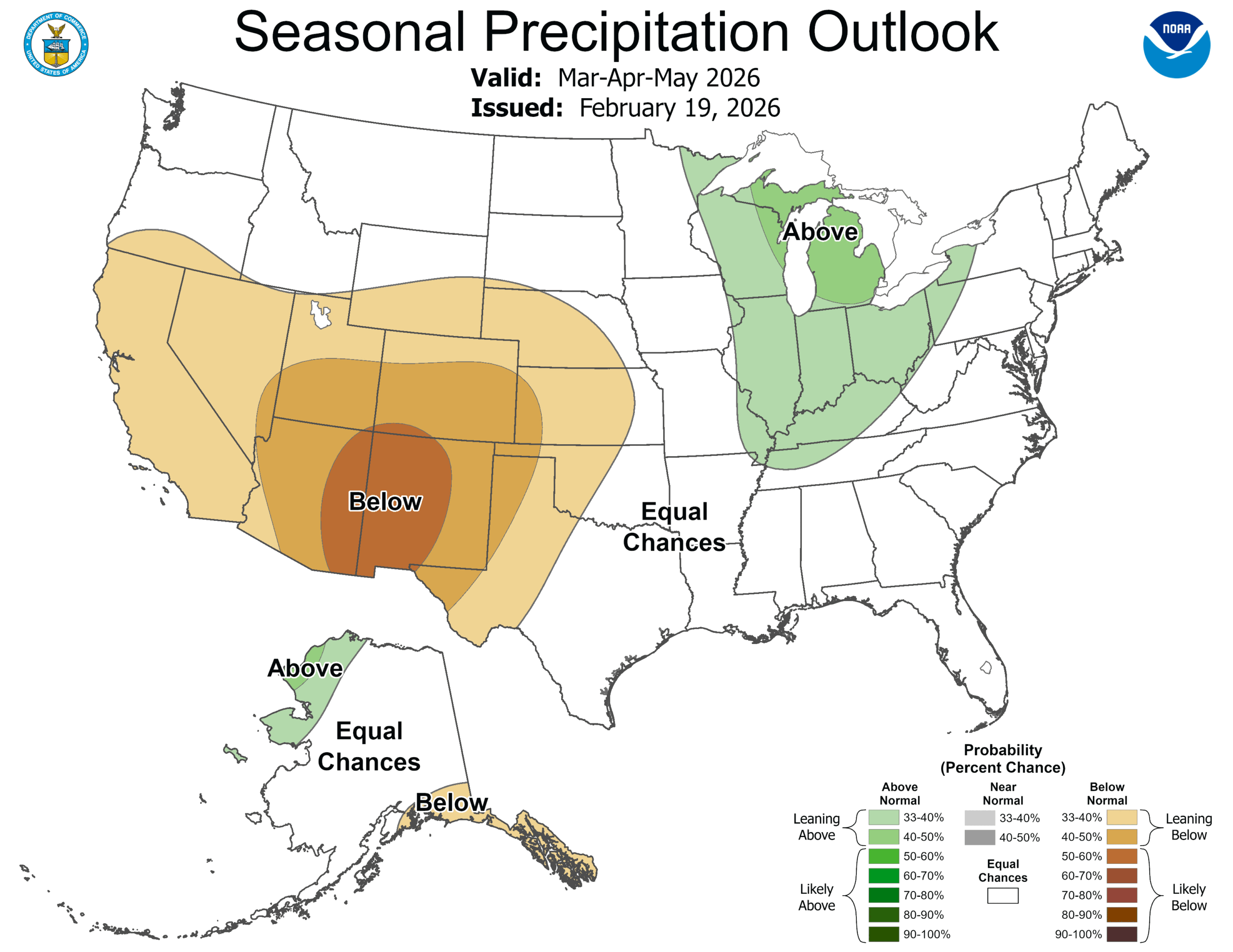
Precipitation patterns this spring are expected to reflect a mix of wet and dry conditions. Wetter-than-normal conditions are favored from Missouri and Kentucky northward into the Great Lakes region, while drier-than-normal conditions are expected across the southern two-thirds of Colorado and into southwest Kansas. Across the rest of the Central U.S., there are equal chances of above-, near-, or below-normal precipitation, depending on how the shifting atmospheric patterns evolve.

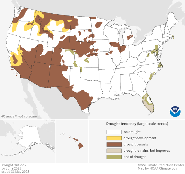
Drought conditions are projected to show some improvement across the Great Lakes, the Upper Mississippi River Valley, and southwest Missouri, where increased precipitation is anticipated. However, persistent drought is likely to continue in Minnesota, northern and western Iowa, the Dakotas, Nebraska, northern and eastern Wyoming, western Colorado, and northern Kansas. In addition, drought development is likely in western Kansas, southwest Wyoming, and other parts of Colorado as dry conditions persist.

As the La Niña influence begins to fade and the climate system enters a more neutral ENSO phase, seasonal variability is likely to increase. With the potential for short-term patterns like the MJO and fluctuations in the AO to play a more significant role, conditions across the Central U.S.—particularly in the Northern Plains—may shift quickly through early spring.

Three Month

temperature outlook

Three Month

precipitation outlook

Monthly

Drought Outlook

ONE MONTH

TEMPERATURE OUTLOOK

MONTHLY

PRECIPITATION OUTLOOK

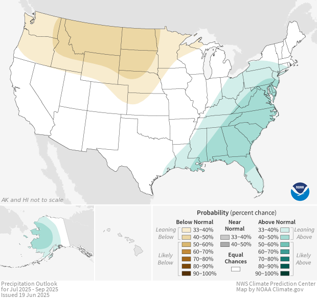
SEASONAL

PRECIPITATION OUTLOOK

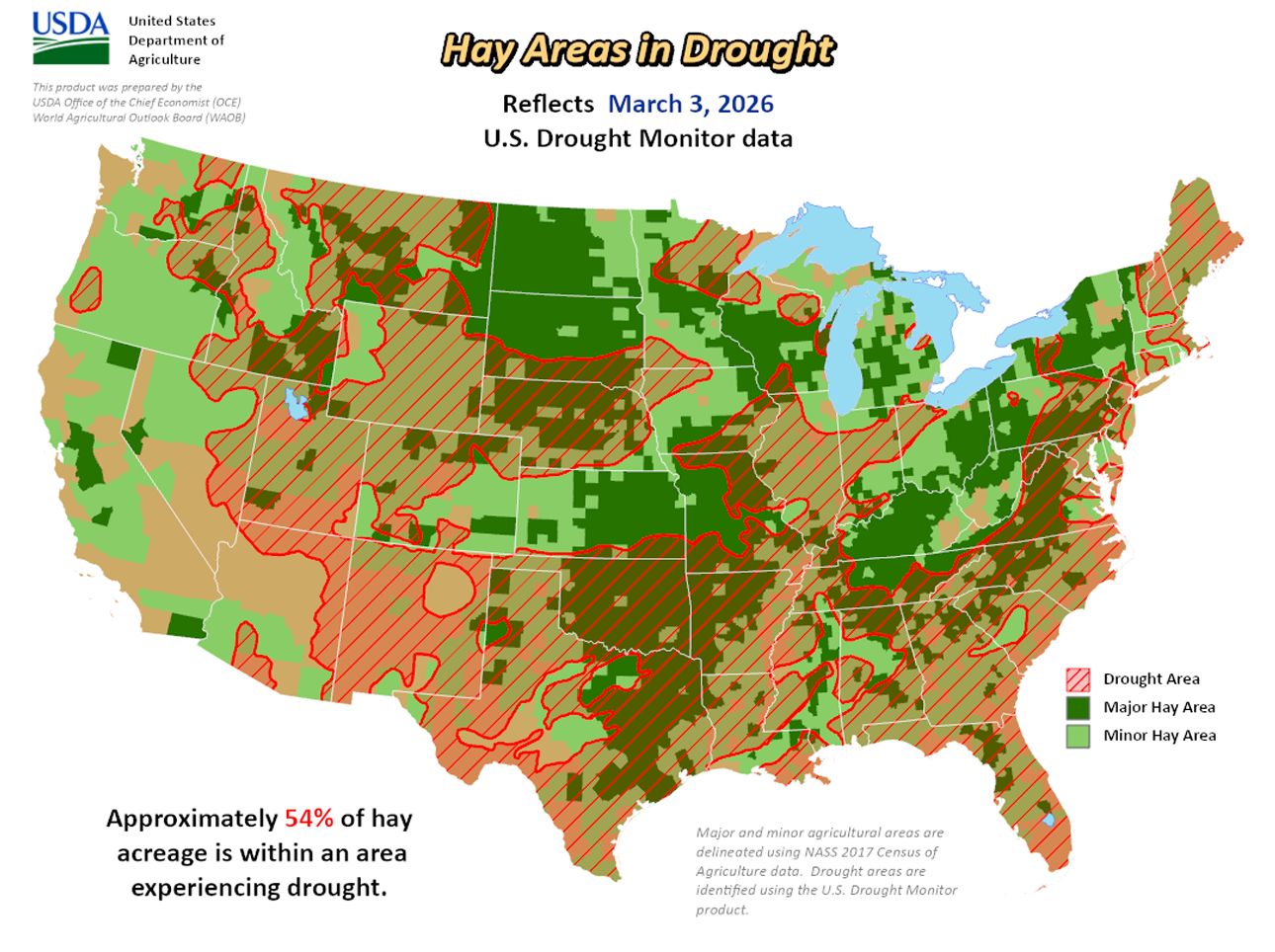
HAY AREAS IN DROUGHT

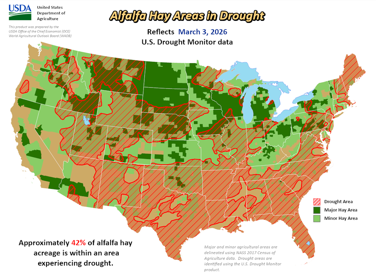
ALFALFA HAY AREAS IN DROUGHT

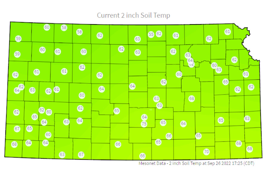
Soil Temp

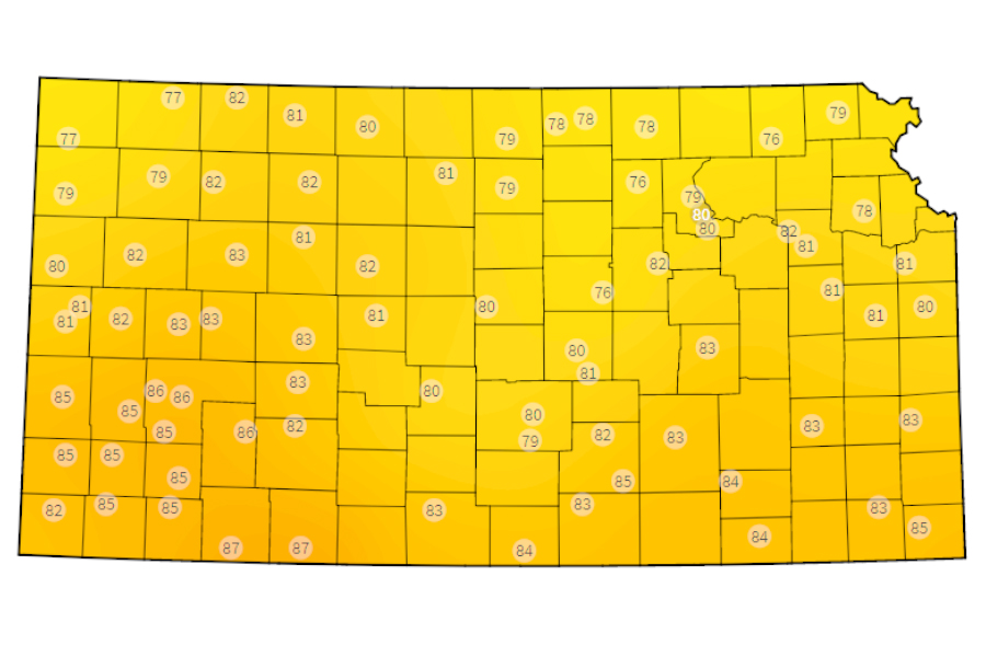
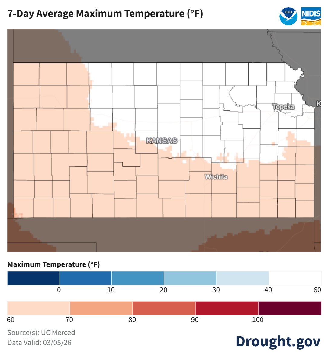
temperature

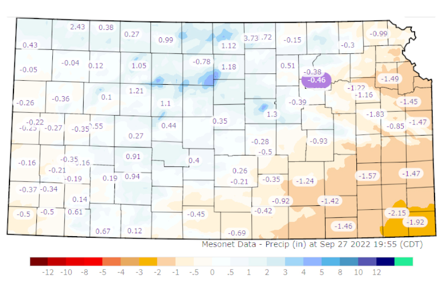
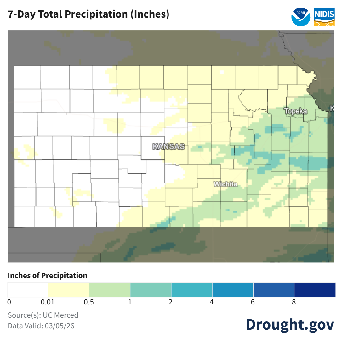
Precipitation

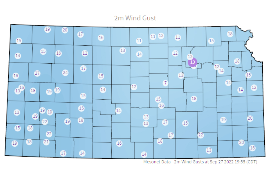
Wind Gust
Please view the Kansas State University Website for access to additional info.

Current Kansas Drought Maps

Kansas Temperature Conditions

Kansas Precipitation Conditions

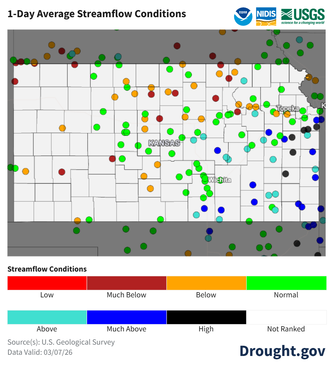
Kansas Streamflow Conditions

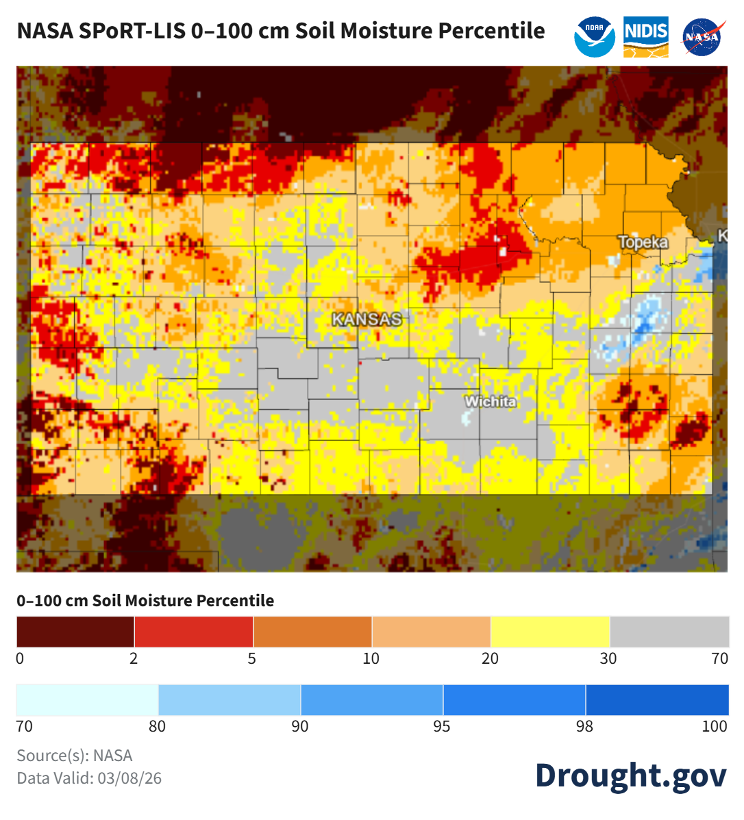
Kansas Soil Moisture Conditions

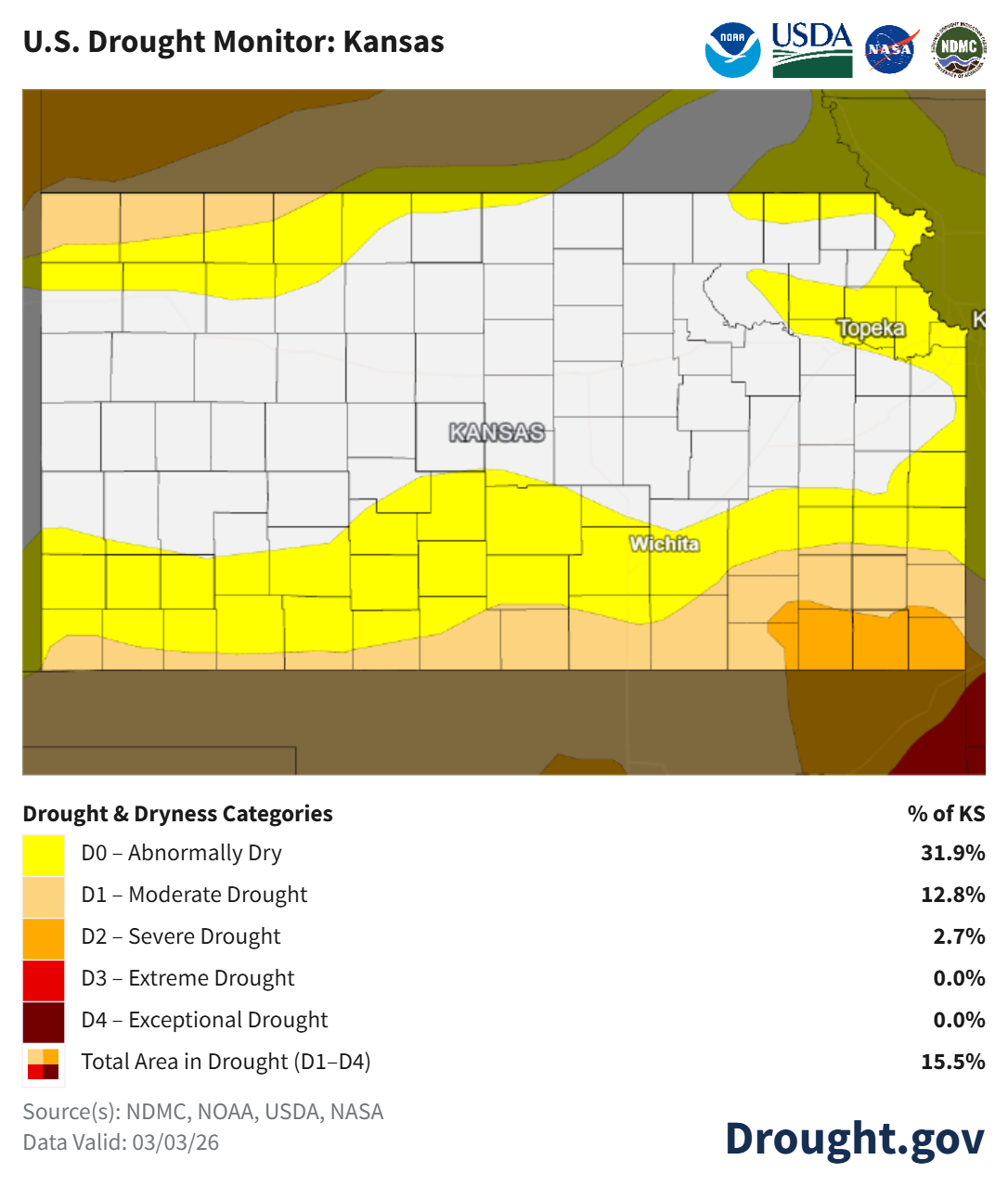
Kansas Drought Monitor

Weekly Farm News

Sergio’s crew hard at work cleaning the fuelling station pad